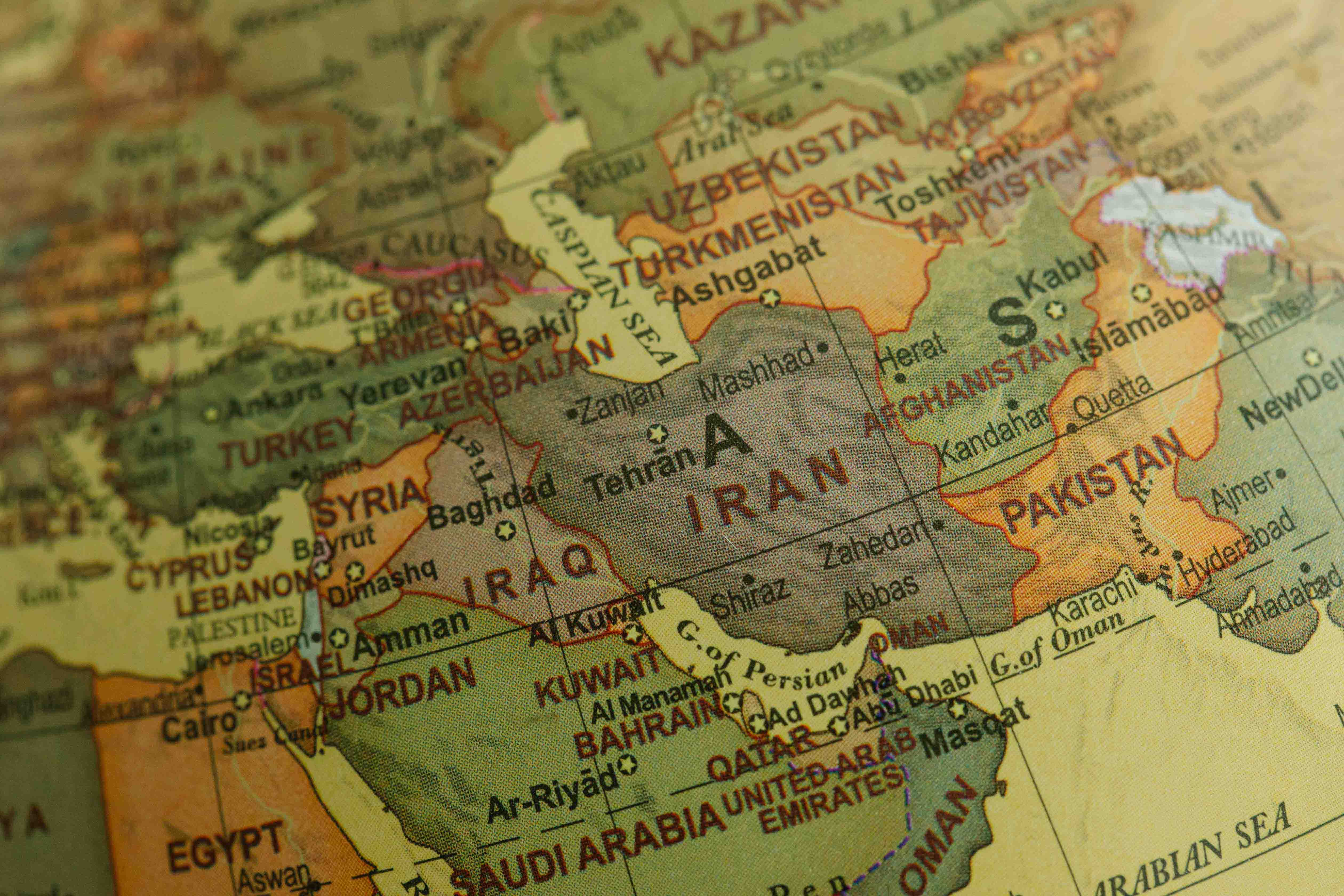
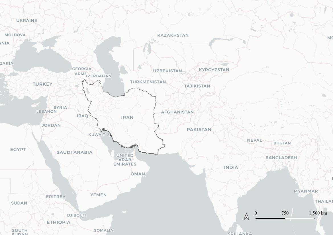
Map showing Iran’s position in relation to other countries
The highest concentration of pigeons’ towers is located in the area of the oasis of Isfahan crossed by the Zayandè river and its tributaries and on the westernmost area of the current province around Golpayegan.
Isfahan Province is situated in central Persia between the massive central Zagros mountain range and the grand desert, covering an area of approximately 107,000 km². The geographical setting consists of mountains (with an average elevation of 1600 m); plains and 52 hydrological units belonging to 9 basins and 27 sub-basins. The characteristics of all the rivers are that they are small and temporary during the year exception for the Zāyandarud (Zayandè river).
A similar range of landscapes also corresponds to climatic and environmental differences. Therefore the province can be divided into different topographic and climatic regions based on their distance from the Zagros mountains in the west and the great desert in the east.
The area of the oasis
It is a semi-arid region with the Zāyandarud as the main water resource. In this area a series of villages and towns are spread out, between the mountains and the central desert, due to water occurrence. The geographical setting, with a mild and temperate climate, is the reason why a city of this size has developed in this area.
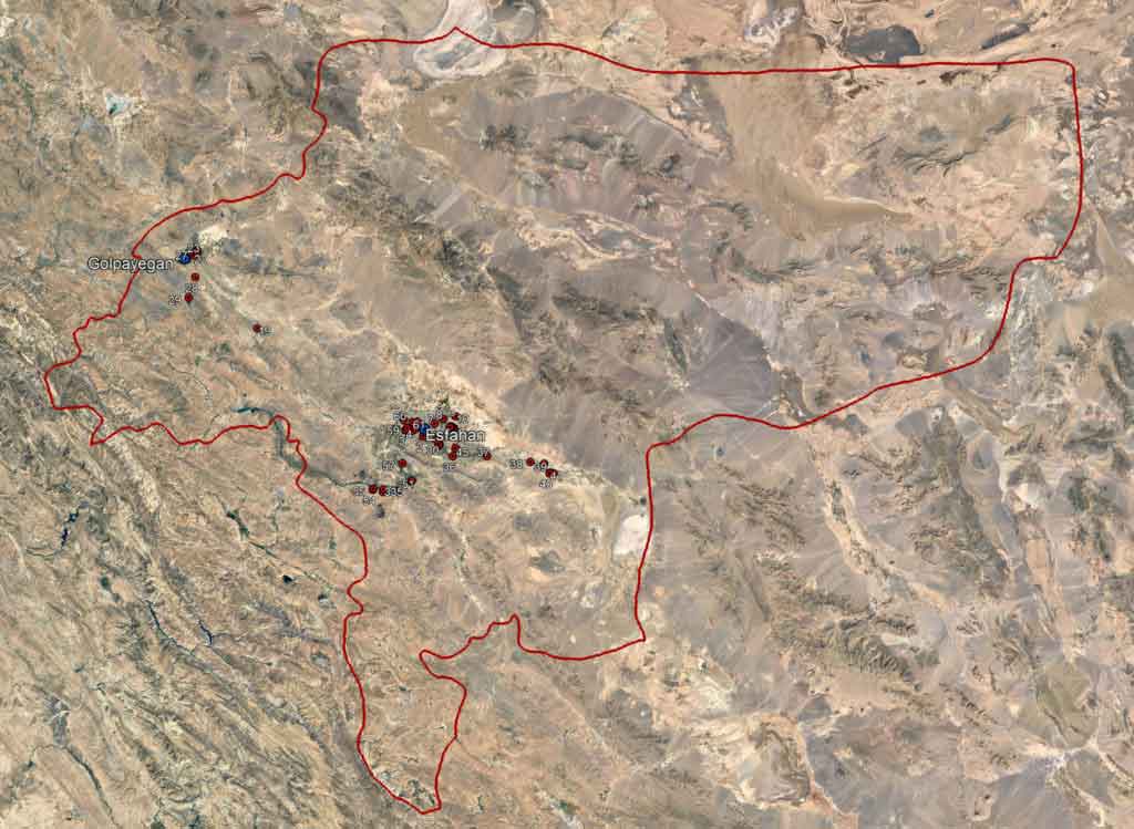
Map representing the surveyed area
The Golpayegan area
Isfahan Province can be divided into different topographic and climatic regions based on their distance from the Zagros mountains in the west and the great desert in the east. The Golpayegan area is a semi-humid and cold area with many valleys, rich in vegetation and springs while the province is generally lacking in flora and fauna. It is possible to find trees like pines, cypresses, plane trees or elms. There are also large stands of mountain-almond, wild fig and barberry.
If you want to know more of the geographical region of Isfahan, visit the reserved page on Encyclopædia Iranica here.